1879
Maker: Walker.
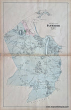
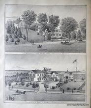
From the Atlas of Plymouth County, MA, 1879, by Walker, Town of Plymouth, showing property owners, named streets, schools, churches, proposed railroad, Plymouth Rock and Plymouth Harbor, Manomet, South Plymouth, Cedarville; verso displays engraving of two Kingston residences. Good condition, even toning, some spots and stains, small seam separation at right side. Measures approx. 25.5 x 16 inches.
Item Number: MAS1503


