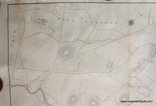
1870
Maker: Meisel.
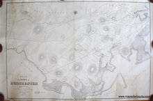
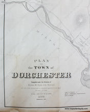
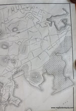
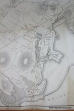
Antique, uncolored map of the Town of Dorchester, Massachusetts, by Commissioners on Annexation, 1869, and published by Meisel in 1870. Shows streets, public buildings, marshes, mills, and rivers. Dorchester was a popular retreat for Bostonians and Boston began to annex the town starting in 1804, with the complete annexation being decided in 1869. Dorchester became officially part of Boston on January 3, 1870. This was originally a folding map that has been professionally cleaned and rebacked with light-weight tissue. Good antique condition with some soiling along the original fold lines. Approx. 34 x 51 inches to the neatline. **NOTE- because this map requires extra insurance for shipping, an additional charge will appear on your card after your original purchase. If you would like to know what that charge will be, please contact us.**
Item Number: MAS1766


