1706
Maker: De L'Isle.
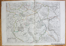
Antique set of two hand colored maps of part of Russia and the Ukraine by Guillaume de L'Isle, c. 1706. De L'Isle is notable as the first cartographer who incorporated the most current information on topography and exploration into his maps. These maps include the area from the White Sea to the Sea of Azov, with St. Petersburg, Moscow, Novgorod, Kyiv, and as far east as Samara. Original hand drawn outline color delineating boundaries. Good to very good antique condition, with some minor spots and stains, some tears including one at the bottom of the upper sheet that goes into the map (archivally repaired), and slight fading of upper sheet. Each sheet is approx. 19 x 25.5 inches to the neatline. Can be joined to create one map- contact us if you are interested in purchasing these maps joined. **NOTE- because this map requires extra insurance for shipping, an additional charge will appear on your card after your original purchase. If you would like to know what that charge will be, please contact us.**
Item Number: EUR2439


