1894
Maker: Cram.
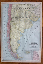
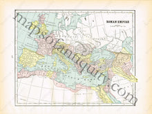
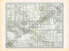
Antique printed color map of South America (recto map, double-page spread, 246 & 247) featuring Chile, Argentina and Uruguay including Falkland Islands and inset of the Atacama Desert. Verso Map: Islands in the Pacific Ocean (page 245). Verso: Map of the Roman Empire (page 248) Very good condition with some slight toning at the edges. By Cram, in The Standard Atlas and Gazetteer of The World, 1894. Recto Map: Approximately 20.5" x 13.5" to the neatline. Verso Maps: Approx. 9" x 11.5" to the neatline.
Item Number: SAM297


