Item number: NAU507
Genuine Antique Nautical Chart
1864
Maker: J & C Walker
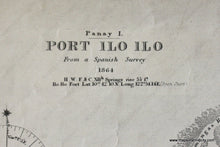
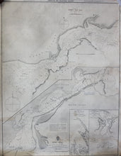
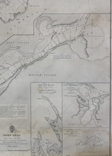
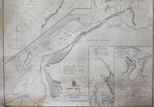
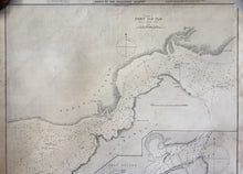
Black and white antique nautical chart, shows the area around Port Iloilo between Panay and Guimaras Islands with detailed bathymetric data and insets of Port San Miguel, Port Barreras or Lanang (Aroroy), Buluanag or St. Ana, and Zebu and Mactas Islands. Fair to good condition, toned, foxing, approximately 24" x 18" to the neat lines
Item Number: NAU507


