1900
Maker: Cram.
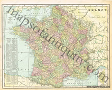
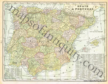
Antique printed color map of France (Recto). Includes an inset map of Corsica. Verso: A map of Spain and Portugal. Both maps include area and population, as well as a list of chief cities. Very good condition with some slight toning at the edges. By Cram, in Cram's Universal Atlas Geographical, Astronomical and Historical, 1900. Recto map measures approximately 10.5" x 13.5" to the neatline. Verso map measures approx. 10.5" x 13.5" to the neatline.
Item Number: EUR1878


