1905
Maker: Walker.
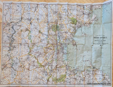
Antique printed color map of the vicinity of Boston, including the parks, proposed parks, bicycling routes, and more. Concentric circles show the distance in miles from the State House. This map is the c. 1905 edition and was published by Geo. H. Walker & Co. Good condition with folds as issued and some wear along the folds including some small separations. Could be archivally backed to flatten. Measures approx. 26 x 35.25 inches to the neatline.
Item Number: MAS2060


