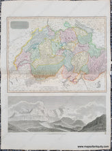
1814
Maker: Thomson.
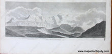
Antique hand-colored map of Switzerland with a black and white engraved illustration of Mont Blanc (with caption, "Nearly three miles above the level of the sea) below the map. By John Thomson, from his work, "A New General Atlas," 1814. Map includes topographical detail. Visible plate marks. Very good overall antique condition with some mild foxing as well as slight darkening along the center fold. Some very mild roughing/paper loss at the outer edges. Map measures approximately 14.75" x 19.25" to the neatline. Entire page measures approx. 28.5" x 21.25".
Item Number: EUR2092


