Item number: SOU559
Printed Color Pictorial Map
c. 1960
Maker: Hoffman & Walker.
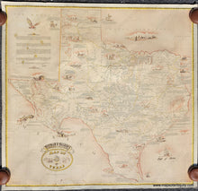
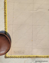
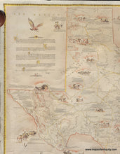
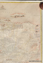
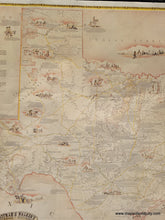
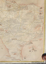
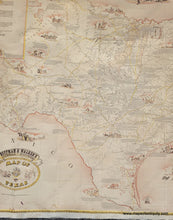
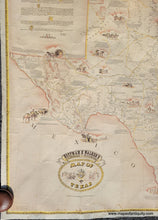
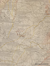
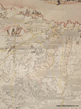
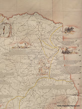
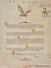
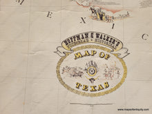
Antique printed color pictorial map of Texas by Hoffman and Walker. This map is copyrighted but does not have a date printed on it. It is estimated to have been published around 1960 due to the lack of a zip code in the address under the copyright (zip codes were instituted in 1963). With illustrated scenes and numerous historical notes throughout. A note from the map creators appears in the upper left describing the history of map making in Texas and their creation of this map. Shows forts, battles, roads, trails, and wagon routes. This map was republished by Hoffman and Walker slightly later, with an address that includes a zip code, and at one point they reconfigured the map, moving the text outside of the map in order to print it smaller (this edition can be found on our website as SOU428). Thick, sturdy paper. Good condition, with some strong vertical creases, some stains, wear and tear at the paper edges, some wrinkling. Approx. 40.5 x 43.25 inches to the outside of the decorative border.
Item Number: SOU559


