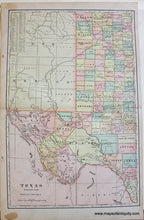
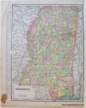
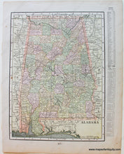
c. 1880
Maker: Cram.
Antique printed color map of the western half of Texas by Cram, c. 1880. This map is colored by county and shows cities, towns, railroads, etc. Includes El Paso, Amarillo, San Angelo, and more. Text on the lower right lists counties and chief cities. Good antique condition with some mild spots including a larger spot in the margin, minor toning, and some small tears at the paper edges including one tear just barely into the map on the right side (archivally repaired). Approx. 20.25 x 13.25 inches to the neatline.
Item Number: SOU440


