Current hours: 10am to 5pm Tuesday through Saturday. We are closed Sundays and Mondays for the Winter. IMPORTANT PLEASE NOTE: We have become aware that some of our photos have been stolen by other websites. Our maps are only available at our website www.mapsofantiquity.com or at our store!

Genuine-Antique-Hand-Colored-Map-Colton's-Railroad-and-Township-Map-of-the-State-of-New-York-with-Parts-of-the-Adjoining-States-and-Canada.--United-States-Northeast-1872-Colton-Maps-Of-Antiquity-1800s-19th-century
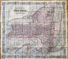
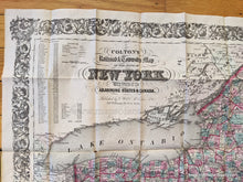
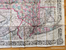
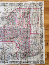
1872 - Colton’s Railroad And Township Map Of The State New York With Parts Adjoining States
  • Load image into Gallery viewer, Genuine-Antique-Hand-Colored-Map-Colton's-Railroad-and-Township-Map-of-the-State-of-New-York-with-Parts-of-the-Adjoining-States-and-Canada.--United-States-Northeast-1872-Colton-Maps-Of-Antiquity-1800s-19th-century
  • Load image into Gallery viewer, 1872 - Colton’s Railroad And Township Map Of The State New York With Parts Adjoining States
  • Load image into Gallery viewer, 1872 - Colton’s Railroad And Township Map Of The State New York With Parts Adjoining States
  • Load image into Gallery viewer, 1872 - Colton’s Railroad And Township Map Of The State New York With Parts Adjoining States
  • Load image into Gallery viewer, 1872 - Colton’s Railroad And Township Map Of The State New York With Parts Adjoining States

1872 - Colton's Railroad and Township Map of the State of New York with Parts of the Adjoining States and Canada. - Antique Map

Regular price
$325.00
Sale price
$325.00
Regular price
Sold out
Unit price
per 
Shipping calculated at checkout.

Item number: NYO321
Genuine Antique Hand Colored Map

1872

Maker: Colton.

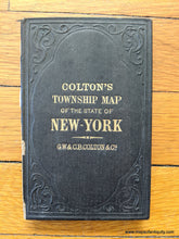
Beautifully hand colored, large antique railroad and township map of New York state, with ornate decorative border. Great detail of landforms, water bodies, cities and towns, as well as routes and railroads. Counties delineated by color. Includes table with population statistics. This map is copyrighted 1852 but this is the 1872 edition (dated near title). By GW & CB Colton. This map is attached to a booklet back (front cover of the booklet is detached but is included). Very good condition with some toning and wear at fold lines, light wrinkling. Stains along the right edge. Priced based on condition. Should look excellent when framed. Approx. 24.25 x 27 inches.

Item Number: NYO321