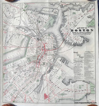
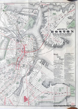
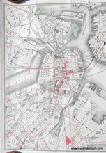
1909
Maker: Walker
Antique map of Boston by Walker, copyrighted in 1909. This map shows roads and railroads as well as the surface lines, subway lines, elevated lines, East Boston Tunnel, and proposed lines of the city, including Charleston, East Boston, South Boston, and part of Cambridge. This was published as a folding city map for tourism. Very good condition with some hinging tape on the back from when it was previously framed. Measures approx. 18.5 x 17 inches to the neatline.
Item Number: CSMT112


