1892
Maker: Rand Avery Supply Co. / Boston & Maine Railroad
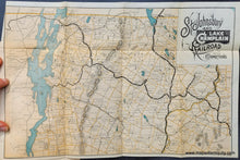
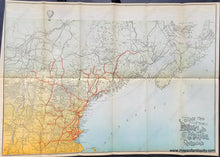
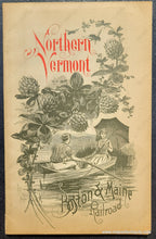
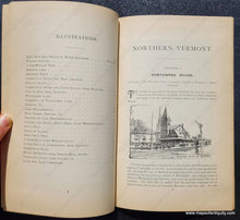
Antique railroad travel book of Northern Vermont, featuring multiple maps, published by the Boston & Maine Railroad in 1892. This lovely booklet extolls the myriad delights of Northern Vermont, with chapters titled The Vermont Border (the first topic under which is Norwich and Dartmouth College), Willoughby Lake, Newport and Lake Memphremagog, The Green Mountains, and Lake Champlain. It features many lovely illustrations and includes three fold-out maps. The fold-out maps are: Tourist Map of the Boston & Maine Railroad (14.5 x 20 inches), Passumpsic Division (16 x 7.5 inches), St. Johnsbury and Lake Champlain Railroad and Connections (9.25 x 14.25 inches). The maps show towns, villages, some topography, and of course the railroad lines and stops. Maps are currently attached to the text but could be removed for framing if desired. An additional small black and white map is printed on one of the book pages. Very good condition. Maps are all in very good condition with some very minor signs of age, such as tiny separations at some of the fold intersections. Booklet is in very good condition, the cover is included but not attached. This is the fourth edition of this book.
Item Number: VER267


