1848
Maker: Goodrich.
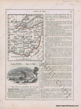
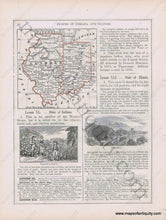
Antique early printed color outlined two-sided page from A National Geography for Schools written by S.G. Goodrich and published by Huntington and Savage in 1848, including engravings of Lead Mines, Vineyard in Indiana, and a View if Cincinnati, with text and tables describing the region, etc. In very good antique condition with minor toning, foxing and general signs of age, page measures approximately 10.5 x 8.5 inches.
Item Number: MWE383


