Pickup available at 1409 MAIN ST, CHATHAM MA
Usually ready in 24 hours
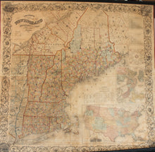
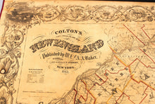
1862 - Colton's New Steel Plate Map of New England - Antique Map
-
1409 MAIN ST, CHATHAM MA
Pickup available, usually ready in 24 hours1409 Main Street
Chatham MA 02633
United States+15089451660
1862
Maker: Colton.
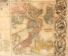
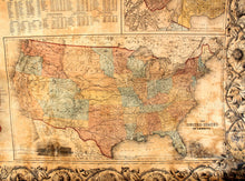
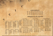
Antique map of New England, with Maine, Vermont, New Hampshire, Massachusetts, Connecticut, and Rhode Island, by Colton, 1862. Highly detailed map of landforms, water bodies, roads and routes, coastal features, towns, cities and ports, with counties and townships delineated in color. Includes insets of a Map of Boston, and Adjacent Cities, and The United States of America, Time Diagram, Distance Tables, and Population Statistics, and wide, decorated scrolled leaf and flower border. The inset map of the US shows mostly territories in the West, with interesting borders. Good condition, restored, linen backed, overall toning, some discoloration lower right, and spotting lower left, a few repaired and filled tears. Approx. 58 x 59 to edge of decorated border. **NOTE- this map requires extra insurance and a signature for shipping. If you would like to discuss shipping costs, please contact us and we can provide a personalize shipping quote.**
Item Number: NEW038


