1861
Maker: Bufford
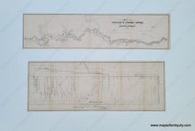
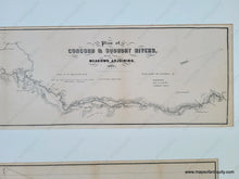
Two fascinating maps together in one mat, ready for framing. The upper map shows the Concord and Sudbury Rivers as is from above, and the lower diagram illustrates the depths and shallows of the rivers. Both 1861 and probably published in a government report. Black lines drawn across the upper map indicate where it was measured and corresponds to the sections in the lower diagram. Very good condition with folds as issued. Upper map measures 6 x 26 inches and lower map is 8.5 x 24 inches. Total size including mat is 24 x 36 inches. Mat does not appear to be archival.
Item Number: MAS2335


