Pickup available at 1409 MAIN ST, CHATHAM MA
Usually ready in 24 hours
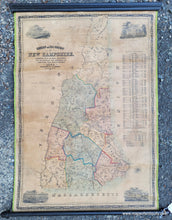
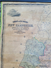
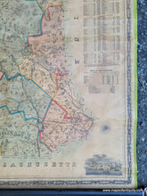
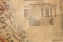
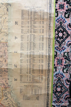
1854 - Township and Railroad Map of New Hampshire - Antique Map
-
1409 MAIN ST, CHATHAM MA
Pickup available, usually ready in 24 hours1409 Main Street
Chatham MA 02633
United States+15089451660
1854
Maker: Dodge.
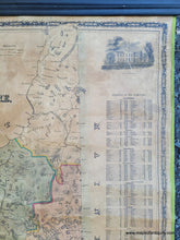
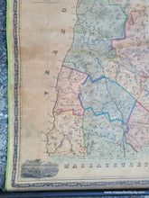
Township and Railroad Map of New Hampshire compiled by the best authorities with corrections and alterations of town lines from actual surveys with statistics of New Hampshire by county and town including population and valuation, four engravings, decorative border, roads and railroads, about 24 1/2" x 34 1/2" in good condition. Map has been cleaned, rebacked, restored, and de-acidified. Map is evenly toned with some creases as shown. **NOTE- because this map requires extra insurance for shipping, an additional charge will appear on your card after your original purchase. If you would like to know what that charge will be, please contact us.**
Item Number: NHA317


