Winter hours: Tuesday - Saturday 10am to 5pm. Close Sundays and Mondays until May. We appreciate your business!

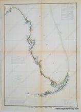
1851 - Sketch F Showing the Progress of the Survey in Section VI With a General Reconnaissance of the Western Coast of Florida 1848-51 - Antique Chart
  • Load image into Gallery viewer, 1851 - Sketch F Showing the Progress of the Survey in Section VI With a General Reconnaissance of the Western Coast of Florida 1848-51 - Antique Chart
  • Load image into Gallery viewer, 1851 - Sketch F Showing the Progress of the Survey in Section VI With a General Reconnaissance of the Western Coast of Florida 1848-51 - Antique Chart
  • Load image into Gallery viewer, 1851 - Sketch F Showing the Progress of the Survey in Section VI With a General Reconnaissance of the Western Coast of Florida 1848-51 - Antique Chart

1851 - Sketch F Showing the Progress of the Survey in Section VI With a General Reconnaissance of the Western Coast of Florida 1848-51 - Antique Chart

Regular price
$245.00
Sale price
$245.00
Regular price
Sold out
Unit price
per 
Shipping calculated at checkout.

Item number: SOU048
Hand-Colored Genuine Antique Coast Chart

1851

Maker: U.S. Coast Survey.


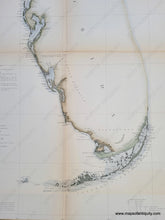
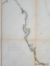
Antique coastal chart of Florida, with great detail of ports, and triangulation, and with a Table of Latitudes and Longitudes. Great representation of Florida Keys. Shows Key Biscayne Bay to Key West, north to Tampa Bay and Cedar Key Bay. Much of the Atlantic coast of Florida had not yet been surveyed at this time. With folds, as issued. Hand Coloring is recent. Very good overall antique condition with mild toning (heavier at the folds). Measures approximately 23" x 16.25" (H x W) to the neatline.


Item Number: SOU048