1900
Maker: Cram.
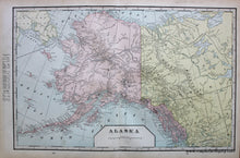
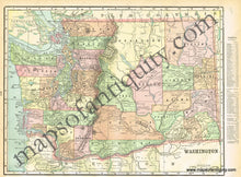
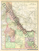
Antique printed color double-sided sheet of Alaska (Recto). Includes a list of counties and chief cities at the side of the map. Verso: (Two Maps) A map of Idaho and a map of Washington. These also include lists of counties and chief cities; Idaho's list is within the map, Washington's is outside the neatlines. Very good condition with some slight overall toning and a small tear at an edge of one of the pages. By Cram, in Cram's Universal Atlas Geographical, Astronomical and Historical, 1900. Map of Alaska measures approximately 12.75" x 20" to the neatline. Map of Idaho measures approx. 13.5" x 10" to the neatline. Map of Washington measures approx. 10" x 13" to the neatline. (Note: Map of Alaska and Map of Washington's lists fall outside of the neatlines.) If you would like to purchase any of these maps separate from the others, please contact us.
Item Number: WES210


