1903
Maker: Cram
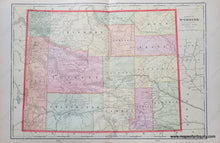
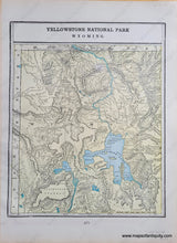
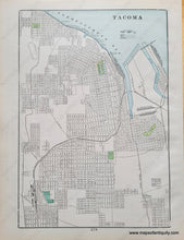
Antique printed color map published in Cram's 1903 atlas. Centerfold map of Wyoming shows early counties, cities, towns, railroads, etc. Maps on back side are Yellowstone National Park on one side and Tacoma, Washington, WA. Very good antique condition with mild toning. The printed color is slightly offset. Wyoming map measures approx. 20 x 13.5 inches to the neatline. Smaller maps measure approx. 12.5 x 9 inches to the neatline.
Item Number: WES449


