1913
Maker: Burgoldt / Campbell
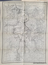
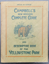
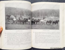
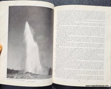
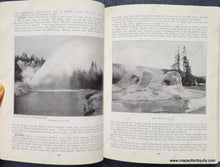
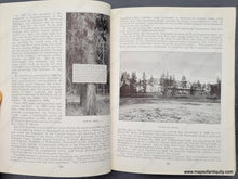
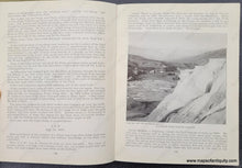
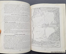
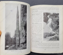
Antique travel book for Yellowstone National Park, by Reau Campbell, 1913. It is the second edition of this delightful book, which is filled with photographs that show the travel ideals of yesteryear, with grand lodges, horse-drawn carriages, fishing, hunting, and of course, sightseeing. The contents include "Climate, Historical, Hotels, Legends and Jokes, Nomenclature, Practical Matters, and much more. With the book but no longer attached is a map of Yellowstone Park, drawn by Paul Burgoldt and copyright 1905 by Woodward & Tiernan Printing Co. This is a wonderfully detailed map showing rivers, falls, roads, hotels, topography, named peaks and mountains, geysers, the continental divide, and more. Due to a particular interest, we noted that Handkerchief Pool is not noted on this map- it became a tourist attraction almost as popular as Old Faithful because a handkerchief could be dropped into the water, where it would swirl, sink rapidly, and then resurface! Unfortunately by the later 1920s, people had thrown so many other things into the pool, it no longer functioned as it once had, and today it is barely known. It's unusual properties must have been discovered after this book was published, as there is no mention of it in the book either. The map is in very good antique condition with a small tear at the top and a few minor stains. The book is also in very good condition. Map measures approx. 15 x 11 inches to the neatline.
Item Number: WES476


