Current hours: 10am to 5pm Monday through Saturday. 12pm to 5pm Sundays. IMPORTANT PLEASE NOTE: We have become aware that some of our photos have been stolen by other websites. Our maps are only available at our website www.mapsofantiquity.com or at our store!

Genuine-Antique-Geological-Map-Geological-Map-of-Long-&-Staten-Islands-with-the-Environs-of-New-York-1842-W.W.-Mather-Maps-Of-Antiquity
  • Load image into Gallery viewer, Genuine-Antique-Geological-Map-Geological-Map-of-Long-&-Staten-Islands-with-the-Environs-of-New-York-1842-W.W.-Mather-Maps-Of-Antiquity
  • Load image into Gallery viewer, Genuine-Antique-Geological-Map-Geological-Map-of-Long-&-Staten-Islands-with-the-Environs-of-New-York-1842-W.W.-Mather-Maps-Of-Antiquity
  • Load image into Gallery viewer, Genuine-Antique-Geological-Map-Geological-Map-of-Long-&-Staten-Islands-with-the-Environs-of-New-York-1842-W.W.-Mather-Maps-Of-Antiquity
  • Load image into Gallery viewer, Genuine-Antique-Geological-Map-Geological-Map-of-Long-&-Staten-Islands-with-the-Environs-of-New-York-1842-W.W.-Mather-Maps-Of-Antiquity
  • Load image into Gallery viewer, Genuine-Antique-Geological-Map-Geological-Map-of-Long-&-Staten-Islands-with-the-Environs-of-New-York-1842-W.W.-Mather-Maps-Of-Antiquity
  • Load image into Gallery viewer, Genuine-Antique-Geological-Map-Geological-Map-of-Long-&-Staten-Islands-with-the-Environs-of-New-York-1842-W.W.-Mather-Maps-Of-Antiquity
  • Load image into Gallery viewer, Genuine-Antique-Geological-Map-Geological-Map-of-Long-&-Staten-Islands-with-the-Environs-of-New-York-1842-W.W.-Mather-Maps-Of-Antiquity
  • Load image into Gallery viewer, Genuine-Antique-Geological-Map-Geological-Map-of-Long-&-Staten-Islands-with-the-Environs-of-New-York-1842-W.W.-Mather-Maps-Of-Antiquity

1842 - Geological Map of Long & Staten Islands with the Environs of New York - Antique Map

Regular price
$1,750.00
Sale price
$1,750.00
Regular price
Sold out
Unit price
per 
Shipping calculated at checkout.

Item number: NYO960
Genuine Antique Geological Map

1842

Maker: W.W. Mather


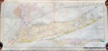
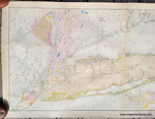
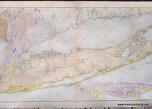
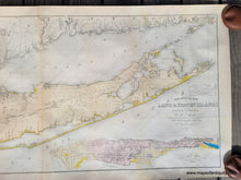
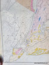
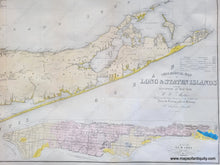
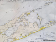
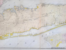
Antique hand-colored map of Long Island by W.W. Mather ... from the Topographical Surveys of J. Calvin Smith, Endicott, New York, 1842. This is known as a remarkable large format map of Long Island and Staten Island, with contiguous parts of New York City, Westchester County and Southern Connecticut, published by WW Mather in connection with his important work on the geology of the region. Published prior to the explosive growth on Long Island, Mather's map extends from New Jersey and Staten Island eastward to Montauk and Fisher's Island. Includes parts of Westchester, New Jersey, Rockland County, and the Connecticut Coast. Shows the partially completed Long Island Railroad as well as smaller roads and towns. Notes various important Long Island communities including the East Hampton, Bridgehampton, Southampton, Amaganset, Riverhead, and Sag Harbor, among others. In many cases individual buildings are detailed. Inset of Manhattan. The first large format Geological map of the region. Very good restored condition with some areas where the toning is darker, some minor tiny spots. This map was archivally restored, cleaned, and backed. Ships rolled. Measures approx. 22 x 51 inches to the neatline.  **NOTE- because this map requires extra insurance for shipping, an additional charge will appear on your card after your original purchase. If you would like to know what that charge will be, please contact us.**


Item Number: NYO960