Item number: NAU145
Genuine Antique Nautical Chart
1840/1843
Maker: Blachford
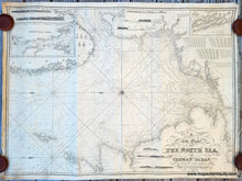
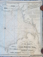
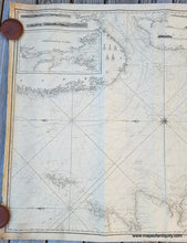
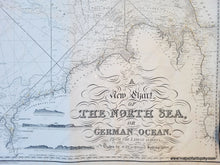
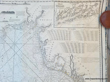
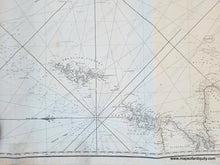
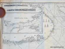
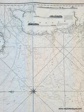
Antique nautical sailing chart of the North Sea, by M. Blachford, 1840 corrected to 1843. Sold by Blachford and Imray. An impressive chart with central compass rose, two inset maps, and many recognition profiles. On this chart North is oriented to the left. This antique chart includes portions of the coasts of the Netherlands, France, Norway, England, Scotland, the Shetland Islands and Jutland (Denmark). Very good condition overall, chart is whole, some minor stains. Some wear at page edges. Measures approx. 35.5 x 47.5 inches. **NOTE- this map requires extra insurance for shipping. If you would like to discuss insurance or shipping costs, please contact us.**
The Blachford name first appeared on charts when Irish chartmaker Robert Blachford began the business in the early 1800s. In 1835 Robert and William Blachford passed the business to Michael Blachford. In 1836 Imray joined with Michael Blachford, at the time a small sea chart publisher based in London. The partnership flourished and soon began to compete with the larger firm of Norie and Wilson. In 1846 Imray bought out Blachford, and the company survived, led by descendants, into the twentieth century, when it merged with Norie and Wilson. Rivalry between the hydrographic charts of James Imray, Norie and the British Admiralty throughout the nineteenth century ensured independent works of high quality.
Genuine Antique Map from 1843
Item Number: NAU145


