Item number: MAT310
Genuine Antique Coast Chart
1855
Maker: US Coast Survey.
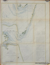
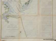
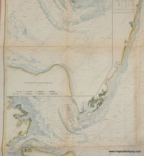
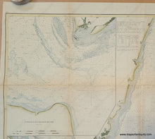
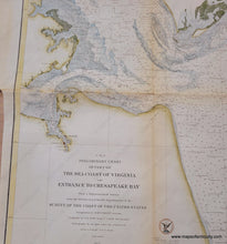
Antique coast chart of Virginia by the US Coast Survey, 1855. This survey report chart shows the Atlantic coast of Virginia, with the Eastern Shore of Virginia, entrance to Chesapeake Bay, Cape Henry, Cape Charles, Norfolk, False Cape, and more. Large inset map at upper left shows the water depth in the Entrance to Chesapeake Bay in more detail. With bathymetric data, tidal and current information, sailing directions, etc. Recent hand-coloring. Overall very good condition. Measures approx. 28 x 20.5 inches.
Genuine Antique Coast Chart from 1855
Item Number: MAT310


