Item number: SOU575
Genuine Antique Coast Chart
1857
Maker: U.S. Coast Survey.
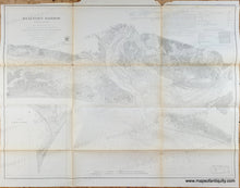
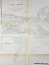
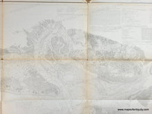
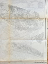
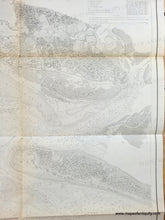
Antique coast chart of Beaufort Harbor, North Carolina, with bathymetric readings, and information on Bearings and Distances, and on Tides and Tidal Currents. This chart has wonderful coastal detail, with farms, marshes, beaches, and the city of Beaufort carefully depicted. Fair to good overall antique condition with some toning (which is heavier at the folds), wrinkles along some of the folds, tiny holes at fold intersections, as well as some roughing/paper loss (specifically at the top.) Measures approximately 22 x 29 inches to the neatline. This chart could be restored by our professional restoration service and/or hand-colored by our professional map colorist for an additional cost.
Genuine Antique Chart from 1857
Item Number: SOU575


