Item number: NAU541
Genuine Antique Survey Chart
c. 1866
Maker: Hydrographic Office of the US Navy
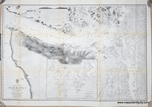
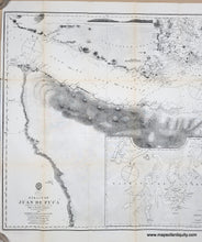
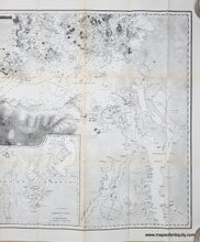
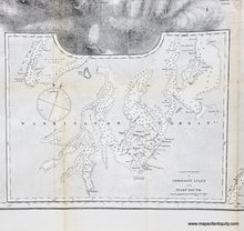
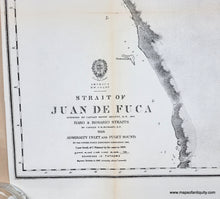
Antique chart of the Juan de Fuca Strait and Salish Sea in Washington, by the Hydrographic Office of the US Navy, c. 1866. Shows the area from Cape Classet or Flattery to Puget Sound and includes part of Vancouver Island near Victoria. A large inset is a continuation of Admiralty Inlet and Puget Sound. This map shows the area of Seattle around the time of its incorporation and long before the massive fill projects of the 1890s-1930s, which transformed the city. Seattle was incorporated as a town January 14, 1865. That charter was voided January 18, 1867, in response to questionable activities of the town's elected leaders. Seattle was re-incorporated December 2, 1869. What is labeled on the map as Duwamish Bay was largely filled in and built upon, and what was not filled in is now known as Elliot Bay. With soundings, topography, and many named bays, harbors, and points. One recognition profile at top shows Cape Flattery. Good to very good antique condition with toning that is darker along the folds and some separation at the fold intersections. Early electrotype print. Measures approx. 33.75" W x 22.25" H to the neatline. This chart could be colored by our professional colorist for an additional cost. Note: any "rainbows" or strange patterns in the image are called moire pattern- caused by taking a digital photo or scan of the many parallel lines in the print- these are not in the print and we can try to take more photos if you are concerned.
Genuine Antique Chart from circa 1866
Item Number: NAU541


