1863
Maker: U.S. Coast Survey.
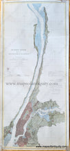
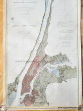
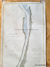
Hand colored antique coastal chart of the mouth and course of the Hudson River from New York City north to Sing Sing (now called Ossining NY), showing very fine detail of Manhattan, Brooklyn, parts of Queens (to Willet's Point) and Westchester County (to Throg's Neck) and including Yonkers, Dobb's Ferry, Nyack, and Tarrytown; with key to tides and soundings. Very good overall restored condition. Has been cleaned, deacidified, and backed, then colored by a local professional map colorist. Measures approx. 39 x 17 inches.
Item Number: NYO185


