1875/1888
Maker: U. S. Coast and Geodetic Survey.
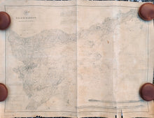
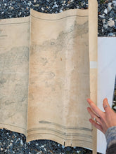
Antique nautical chart of Salem Harbor by the US Coast and Geodetic Survey, edition of 1875 and updated to 1888. Includes the approaches to Salem, Marblehead, Beverly, Manchester-by-the-Sea, and more. Two recognition profiles with Baker's Light. With tidal and current information, soundings, bathymetric data, topographic information, etc. Fair antique condition overall with uneven toning of the antique paper, a notable center crease, a small oil stain, some tears at the paper edges that may go past the neatline. Some tape on the back that is not archival. Approx. 20.5 x 28 inches to the neatline and approx. 22.5 x 29.5 to the paper edges. Could be restored for an additional cost.
Item Number: NAU339a


