1875
Maker: Sampson and Davenport.
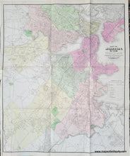
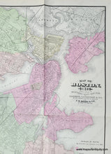
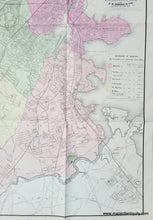
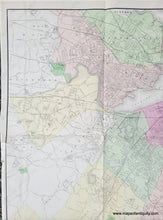
Large, antique, hand-colored map of Boston, by Sampson, Davenport and Co. for the Middlesex County Atlas by J.B. Beers & Co. Beautiful, detailed city plan, with streets and larger roads well shown, as well as some rail lines, and parks and major points of interest. The Back Bay fill was not yet complete at this time, but significant progress had been made, making this a fascinating map showing a particular moment in that project. Very good overall antique condition, with a small tear on the left side, tight margin on lower left. Folds and issued and original color. Measures approx. 32.5 x 27 inches.
Item Number: MAS889


