Item number: WES549
Genuine Antique Map
1891
Maker: General Land Office, US Dept of Interior
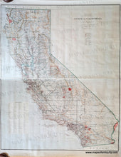
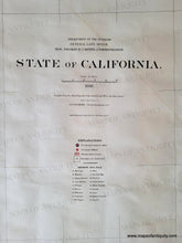
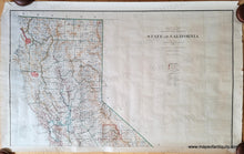
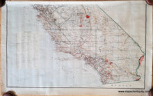
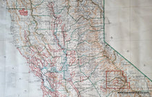
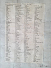
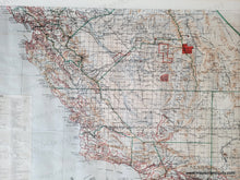
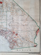
Antique two-sheet map of California made and published by the General Land Office, US Department of the Interior, Litho & print by Julius Bien, 1891. Shows counties in green borders, towns, unincorporated towns, cities, private land grants, Surveyor and Land offices, Mission Indian Res., Yosemite National Park, Sequoia National Park, topography, and more. This map was issued in two sheets and these can be framed separately or joined to create one large map. Each sheet measures approx. 24 x 40 inches to the neatline, so together they would create a map of 48 x 40 inches to the neatline. Original printed color. Good to very good antique condition with some wear at the paper edges that can be hidden when framing, some waviness to the antique paper, and some other minor spots/stains consistent with age.
Genuine Antique Map from 1891
Item Number: WES549


