1904
Maker: S.R. Stoddard.
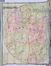
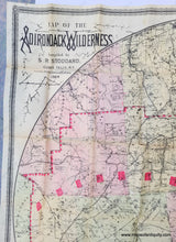
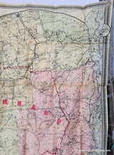
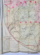
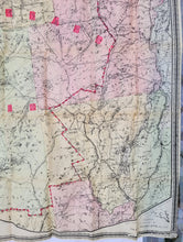
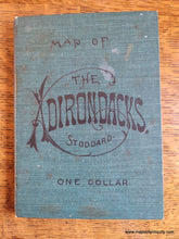
Beautiful, rare, large lithographed folding map of the Adirondack Mountains in New York. Original color, with original booklet covers attached. Shows towns, villages, lakes, rivers, mountains, railroads, wagon roads, steamboat routes, proposed roads, telegraph offices, with decorative border. Seneca Ray Stoddard was a photographer, naturalist, a writer, a poet, an artist, and a cartographer. His writings and photographs helped to popularize the Adirondacks. He was best known for his guidebook, The Adirondacks: Illustrated, published in 1873, revised and reprinted through 1914, and the first tourist map of the Adirondacks, published in 1874. Good antique condition with some minor stains including water stains along some of the folds, and wear and small separations at fold intersections as to be expected of a folding map of this age, slight waviness to the antique paper. Could be restored for an additional cost. Measures approx. 31.5 x 25.7 inches. We will be storing this map flat in order to help flatten the paper.
Also available as a Reproduction- Click Here
Item Number: NYO270


