Antique-map-United-States-US-Illinois-Chicago--Cram-1900
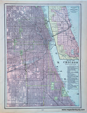
1900 - Map of Chicago Showing The Main Portion of The City - Antique Map
  • Load image into Gallery viewer, Antique-map-United-States-US-Illinois-Chicago--Cram-1900
  • Load image into Gallery viewer, 1900 - Map of Chicago Showing The Main Portion of The City - Antique Map

1900 - Map of Chicago Showing The Main Portion of The City - Antique Map

Regular price
$50.00
Sale price
$50.00
Regular price
Sold out
Unit price
per 
Shipping calculated at checkout.

Item number: MWE280
Genuine Antique Printed-Color Map

1900

Maker: Cram.


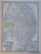
Antique printed-color map of the city of Chicago, Illinois. Includes a reference to points of interest, as well as an inset sectional map of Chicago showing city limits, section lines, railroads, parks, and cemeteries. Shows streets, railroads, subway/elevated rail lines. Back side of page has a map of St Louis, Missouri. Very good overall antique condition with some minor toning. By Cram, 1900. Measures approximately (H x W) 13.5" x 10" to the neatline. 


Item Number: MWE280