Item number: CAR007JR
Genuine Antique Nautical Chart
1807
Maker: Blachford.
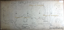
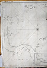
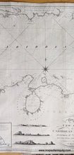
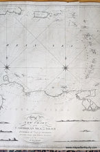
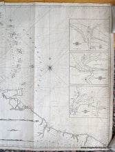
Large, black and white antique Nautical Chart (Blueback Chart) of the Caribbean Sea and surrounding area by Robert Blachford, London, 1807. Shows Panama and the northern coast of South America, as well as Jamaica, Haiti, Puerto Rico, the Virgin Islands, and Guadalupe, Antigua, Dominica, Martinique, St. Lucia, St. Vincent, Grenada, Barbados, and others. With triangulation, and with insets of The Berbice River, The River Surinam, Essequero, and The Island of Curazao (Curacao), and small illustrations of views of Little Curazao, Curazao, and Cayenne. Very good condition overall, some restoration, some discoloration at edges, 29 x 63 inches. NOTE- this map requires extra insurance for shipping, which increases the cost of shipping.
*Special Sale! Now 20% off!
Robert Blachford was an Irish chartmaker who began publishing charts in the early 1800s. In the 1820s he partnered with William Blachford, possibly a relative. Both Robert and William retired around 1835 when they passed the business to Michael Blachford. Michael partnered with, and was later bought out by, James Imray, who became one of the most successful chartmakers of the 19th century.
Item Number: CAR007JR


