Item number: CAN024JR
Genuine Antique Hand Colored Map
1775
Maker: Jeffreys.
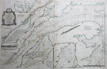
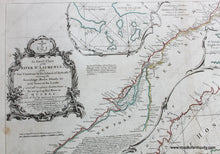
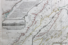
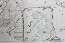
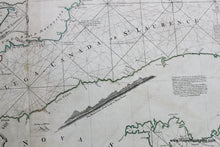
Hand colored engraved antique nautical chart by Thomas Jeffreys, of the St. Lawrence River, with triangulation, etc., and insets of the Seven Islands and The Road of Tadousac. Beautifully detailed, with navigational information. Very good overall antique condition, restored, probably rebacked, 37.5 x 23.5 inches. **NOTE- because this map requires extra insurance for shipping, an additional charge will appear on your card after your original purchase. If you would like to know what that charge will be, please contact us.**
*Special Sale! Now 20% off!
Item Number: CAN024JR


