1830
Maker: Lincoln & Edmands
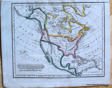
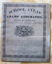
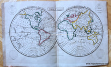
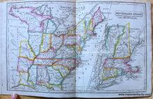
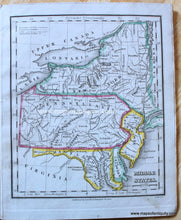
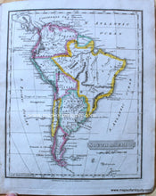
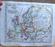
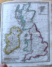
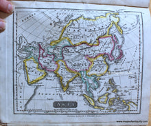
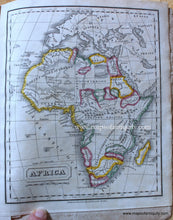
Delightful small atlas in very good antique condition, published by Lincoln & Edmands of Boston in 1830. Cover is paper with decorative border. Maps included: The World, North America, United States with inset of New England States, Middle States, South America, Europe, British Isles, Asia, and Africa. Each map has original hand coloring. North America map shows interesting western area with large Mexico, Oregon Territory reaching far north to border the Russian Possessions of Alaska. United States map is also interesting with Northwest Territory, Arkansaw Ter., and Missouri Ter. formerly Louisiana, as well as East and West Florida. Very good antique conditions with minor signs of age. Atlas measures approx. 8.25 x 7 inches and the larger folded maps measure approx. 8.25 x 13.25 inches.
Item Number: BKS006


