1862
Maker: Black.
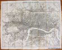
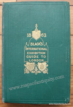
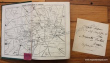
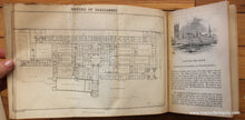
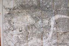
Antique uncolored folding map of London from Black's International Exhibition Guide to London, 1862. The book is written as a "Practical Guide to the Metropolis and its Vicinity" and includes sections on Royal Places in London, The Tower, Museums, Gardens beloning to Scientific Societies, the Bridges, and much more, and includes prints and plans of many notable buildings and areas, as well as two small maps at the front and back of the book. The back cover has an attached pocket and within that pocket resides the larger folding map of London. This lovely map includes street names, gardens, notable buildings, bridges, railroads, and more. Particularly notable is the very early Metropolitan Railway, the first section of which was built beneath the New Road using the "cut-and-cover" method between Paddington and King's Cross and in tunnel and cuttings beside Farringdon Road from King's Cross to near Smithfield, near the City. It opened to the public on 10 January 1863 with gas-lit wooden carriages hauled by steam locomotives, the world's first passenger-carrying designated underground railway. Both map and book are in very good antique condition. Book has some wear to the edges. Map has very slight toning at the edges and some tiny separations at the fold intersections. If buyer is interested, we could archivally back the map with light-weight tissue to flatten it and give the paper more strength. Approx. 19.25 x 25.75 inches to the neatline.
Item Number: TOW598


