Antique-Hand-Colored-Map-Borough-of-Stamford-Fairfield-County-CT-Connecticut--1893-D.H.-Hurd-Maps-Of-Antiquity
1893 - Borough of Stamford, Fairfield County, CT - Antique Map
  • Load image into Gallery viewer, Antique-Hand-Colored-Map-Borough-of-Stamford-Fairfield-County-CT-Connecticut--1893-D.H.-Hurd-Maps-Of-Antiquity
  • Load image into Gallery viewer, 1893 - Borough of Stamford, Fairfield County, CT - Antique Map
  • Load image into Gallery viewer, 1893 - Borough of Stamford, Fairfield County, CT - Antique Map

1893 - Borough of Stamford, Fairfield County, CT - Antique Map

Regular price
$150.00
Sale price
$150.00
Regular price
Sold out
Unit price
per 
Shipping calculated at checkout.

Item number: CON189
Genuine Antique Hand Colored Map

1893

Maker: D.H. Hurd.

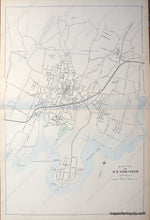
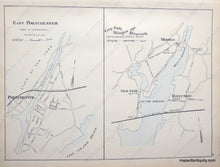
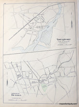
Antique hand colored map of the borough of Stamford, Connecticut. Shows key public buildings and churches in downtown Stamford, Hoytville, Glenbrook, and Strawberry Hill. On reverse, single sheets, Southport and Bethel, and East Portchester and Cos-Cob, Mianus and Riverside. Very good overall antique condition, measures approx. 17.75 x 27.25 inches.

Item Number: CON189