c. 1925
Maker: Walker
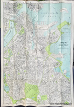
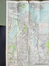
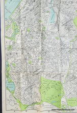
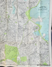
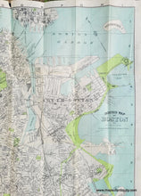
Antique map of Boston by Walker, c. 1925. This excellent map of Boston manages to feel both antique and contemporary, perhaps thanks to its distinctive colors, typography, and rendering. It shows Boston with many areas labeled, including Jamaica Plain, Washington Village, and Forest Hills. With public parks and lands in green, including Franklin Park, the Back Bay Fens, and the area along the Charles River. It includes an Airplane Landing Field in East Boston, which suggests this map is from the 1920s. (The airfield first opened in 1923 as a military base for the Massachusetts State Guard and the Army Air Corps. It was known then as Jeffery Field. These early military operations were soon joined by commercial services - some of the first in the US. The locally-based Colonial Air Transport began offering flights in 1926. Initially, these were airmail only flights, serving a US Postal Service contract. Passenger service between Boston and New York began in 1929, using early Fokker aircraft.) An Index is printed on the back of the paper. This map is in very good antique condition with a small tear at top and some minor creases on right side. It was published as a folding map with a paper jacket. Measures approx. 27.5 x 19 inches to the neatline.
Item Number: BOS012


