1859
Maker: Walling / Baker
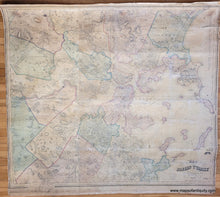
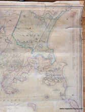
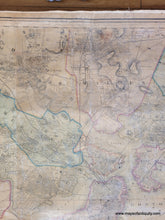
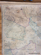
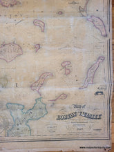
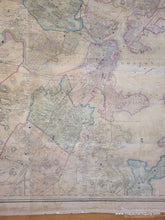
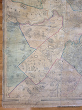
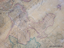
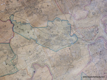
Antique wall map of Boston and the surrounding area, from actual surveys under the directions of H.F. Walling, engraved, printed, colored, and mounted at H.F. Walling's Map Establishment, F.A. Baker publisher, 1859. This map was made at a fascinating time in Boston's developement. In 1856, the Commonwealth of Massachusetts decided to fill in the Back Bay and to construct a new neighborhood on top of the wasteland. By using new steam engine technology, land was hauled in from Needham, 25 miles outside of Boston. After nearly 25 years of construction, the entire Back Bay was filled in, from the Public Garden to Kenmore Square. This map also includes South Bay, which was also filled in, and although it shows the farthest that could be filled between Boston and South Boston, the area that is now the South Boston Waterfront is not even hinted at. The progress of the Back Bay Fill is interesting- the original neck is still clearly visible, but the map seems to indicate that some portions have been filled. Includes the towns of Belmont, Watertown, West Cambridge, Brighton, part of Newton, West Roxbury, Brookline, Medford, Malden, North Chelsea, Chelsea, Winthrop, Somerville, Cambridge, Charlestown, East Boston, South Boston, Boston proper, Roxbury, Dorchester, part of Quincy, and some of the islands in Boston Harbor. This map is in good original condition- it has some damage that mostly affects the edges and it could be restored for an additional cost. It is lacking rods- this makes framing easier but if you would like it to have rods, we do have some that can be attached. Measures approx. 55 x 63 inches.
Item Number: BOS014


