c. 1630
Maker: Hondius.
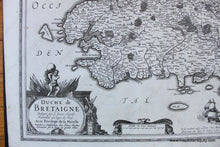
Antique uncolored map of part of France by Hondius, c. 1630. This map shows cities, towns, rivers, forests, and more. Ships sail in the ocean and two sea monsters guard a crest, while the decorative cartouche and scale of miles invite closer inspection to see all of the details. Very good restored condition - map has been cleaned and deacidified and some tears have been repaired. Tears and wrinkles are still visible but minor. Measures approx. 14.5 x 19.75 inches to the neatline.
Item Number: EUR2699


