1925
Maker: Sanborn Map Co..
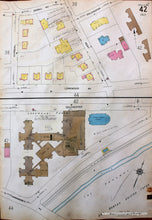
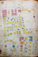
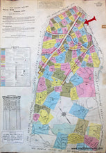
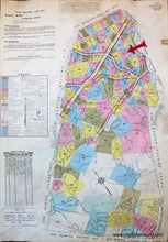
Antique hand colored map showing Wards 42 and 43, part of Brookline, Massachusetts, from the Brookline Mass. Atlas by the Sanborn Map Company of New York, 1925. Ward 42: This ward is split into two halves, with the eastern part of Longwood Av. continuing at the bottom half of the page. Streets shown in this map are Sewall, Marshal, Kent, Longwood Av., Colchester, and Chapel. The landmarks in this ward are the Longwood Station on the B & A Rail Road, The Parkway and brook, Christ Church (Episcopal), and the Longwood Towers Apartment Buildings with attached garage, Lounge Room, Dining Room, Ball Room, and Kitchen. The Longwood Towers was built in 1925 and still exists as luxury housing in Brookline today; it was once the home of Babe Ruth. The majority of the other buildings in this ward are dwellings or flats. Reverse side of this map shows Ward 43 of Brookline. Streets shown on this side are Longwood Av., Stearns Rd., Francis, St. Paul, Perry, and Toxteth. The landmarks in this ward are the Longwood playground and the Eloist Ministry School of Religion. This map was added to and corrected over time to update buildings and streets. There are small rectangles of paper with updates glued to the page and the updates were recorded and signed in a table at the front of the atlas. Fair Antique condition; page is wavy, few pencil marks from updates, some light toning at edges, edge has red leather atlas tab and an imprint from another atlas tab. Pencil marking can potentially be removed. Approx. 26.5" x 18".
Item Number: MAS1567


