1925
Maker: Sanborn Map Co..
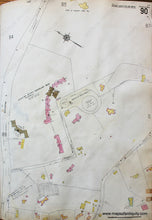
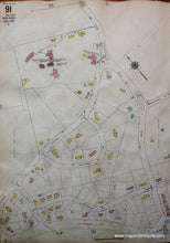
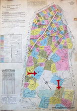
Antique hand colored map showing Wards 90 and 91, part of Brookline, Massachusetts, from the Brookline Mass. Atlas by the Sanborn Map Company of New York, 1925. Ward 90: Streets shown in this map are Boylston and Heath. The landmarks in this ward are the Brookline Water Works and Reservoir, and the Christian Science Benevolent Association Sanatorium. The majority of the buildings in this ward are dwellings or flats. Reverse side of this map shows Ward 91 of Brookline. Streets shown on this side are Grove, Newton, Hallwood Rd., Bellingham Rd., and W. Roxbury Pwy. The landmarks in this ward are the municipal golf course, the Brookline water works, the Town of Brookline Board of Health Hospital and Infirmary that has two wards dedicated to T.B. patients and one ward for scarlet fever patients, and the Walnut Hill Cemetery. The majority of buildings in the ward are flats or dwellings. This map was added to and corrected over time to update buildings and streets. There are small rectangles of paper with updates glued to the page and the updates were recorded and signed in a table at the front of the atlas. Fair Antique condition; page is wavy, few pencil marks from updates, some light toning at edges, edge has red leather atlas tab and an imprint from another atlas tab. Pencil marking can potentially be removed. Approx. 26.5" x 18".
Item Number: MAS1588


