Item number: MAS294
Genuine Antique Nautical Chart
1872/1902
Maker: US Coast and Geodetic Survey.
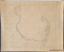
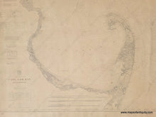
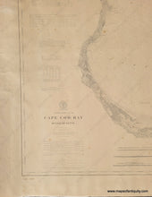
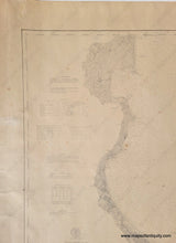
Antique nautical chart showing Cape Cod Bay and the Atlantic Ocean coast of Cape Cod by the US Coast and Geodetic Survey. This chart was first published in 1872 and this edition was updated to 1902. The stamp at the bottom suggests it may have been sold in 1910. Areas included are Orleans to Provincetown, the north side of the Cape with Sandy Neck, and the coast as far north as Plymouth, Kingston, and Duxbury. Also has 3 recognition profiles- Cape Cod from the Northward, Cape Cod Light bearing West, and Nauset Lights. With information about lighthouses, tides, life saving stations, buoys, and weather signals. Soundings are in feet up to 18 feet and then in fathoms. Good antique condition, with some spots, some wrinkling of the antique paper, overall toning. Ink is slightly faint or faded in places. Approx. 30.5 x 38.75 inches to the neatline. **NOTE- this map requires extra insurance for shipping.**
Item Number: MAS294


