1750
Maker: Mount & Page
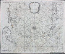
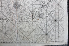
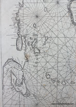
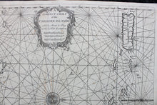
Antique uncolored chart of the Windward and Leeward Islands in the Caribbean, by Mount & Page, 1750. Shows Puerto Rico to Trinidad and the Venezuelan coastline. Features a compass rose that shows north is oriented to the right. With rhumb lines and decorative title cartouche. Due to the use of these charts on sailing ships, these maps tend to be rare. Good to very good restored condition with some image loss towards the bottom, some minor stains. Measures approx. 17 x 20.75 inches to the neatline. ***Note: this item will require additional insurance above what is included with the shipping as calculated by our website- we will send an invoice for the additional cost before shipping***
Item Number: CAR086


