1865/1867
Maker: Robiquet
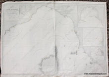
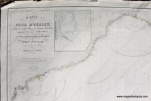
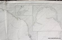
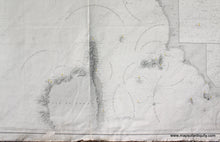
Antique nautical chart of the coast of Italy by Robiquet, 1865 and updated to 1867. Shows from Orbetello to Antibes and Cannes and including Nice, Genoa, Elba, Livorno, and the northern portion of Corse / Corsica. With five inset maps including the harbor areas of Nice and Genoa. Good to very good condition with some repaired damage at the edges, but the center of the chart is very good and clean. Center fold as issued. Measures approx. 26.5 x 39 inches to the neatline.
Model Number: EUR2795


