c. 1775
Maker: Bellin.
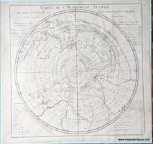
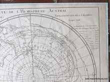
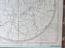
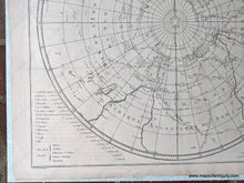
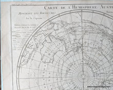
Antique map of the southern hemisphere by Bellin, c. 1775 from Abrege de l'Histoire Generale des Voyages. Includes Australia, part of South America, and part of Africa. This fascinating map shows the routes of European explorers including the various routes of Captain James Cook dating from the 1760s and 1770s, and the routes of other explorers are also marked, with arrows showing the direction of travel. In French. The heading for the text on either side of the map translates to "Tables, Containing the Latitudes and Longitudes of the Isles last discovered in the South Sea as they are marked in this Map." Very good restored antique condition, cleaned and backed, with folds as issued and some toning. Approx. 21 x 21 inches to the neatline. **NOTE- because this map is requires extra insurance, an additional charge for shipping will appear on your card after your original purchase. If you would like to know what that charge will be, please contact us.**
Item Number: WOR242


