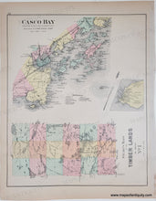
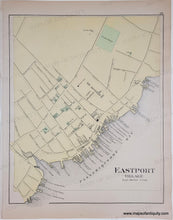
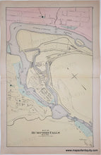
Genuine Antique Hand-colored Map
1895
Maker: Stuart/Colby.
Double-sided antique page of maps. Centerfold map is Rumford Falls, verso maps of Eastport Village and of Casco Bay from Broad Sound to Cape Elizabeth Light, including City of Portland, Cape Elizabeth, Deering, Cumberland, Yarmouth, Freeport, Portland street grid, inset of Peaks Island or Jones Landing with property owners and landmarks, harbor and outlying islands, also Maine's Timber Lands No. 1 with Mount Katahdin. Very good condition with some toning. Rumford Falls map is approx. 24.75 x 15.25 and the smaller maps are approx. 15 x 12.5 inches. Just Timberlands section available at a reduced price- please call if interested.
Genuine Antique Map from 1895.
Item Number: MAI058


