1907
Maker: U.S. Coast and Geodetic Survey.
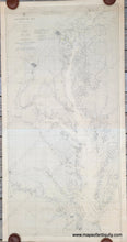
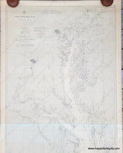
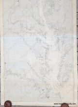
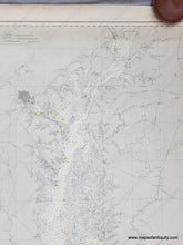
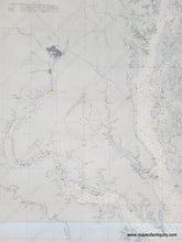
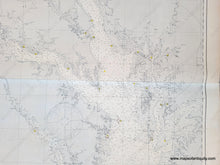
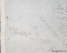
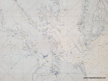
Antique sailing chart, first published in 1904, revised to 1907. Includes Washington DC, Baltimore, Havre de Grace, the whole of Chesapeake Bay, Cape Charles, Cape Henry, Richmond, Newport News, and Norfolk. 2 sheets joined with the upper sheet being slightly more toned than the lower. Good antique condition, minor surface soiling, some minor stains including water stains at edges and some foxing at top. Clear strike, lighthouses are bright yellow, red channel markers. Measures approx. 63. 5 x 31.5 inches.
Item Number: NAU119


