1892
Maker: British Admiralty.
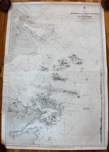
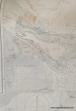
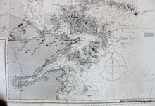
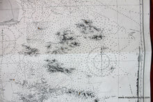
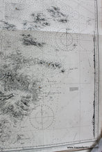
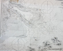
Antique Nautical Chart of part of the east coast of China from 1892 by the British Admiralty. Shanghai was much smaller when this chart was published- it can be seen in the upper left and now the city encompasses that entire peninsula. Shows the navigational information for the areas near Kweshan Island, now Zhoushan, to the Yang Tse Kiang, or Yangtze River with Chongming Island. All measurements are in fathoms. All bearings are magnetic. Good to very good antique condition with minor staining at top. This chart was added to at one time and then the addition was cut away - the remaining piece is visible on the left side where the border turns to accommodate another chart. Approx. 38.5 x 26 inches **NOTE- because this map requires extra insurance for shipping, an additional charge will appear on your card after your original purchase. If you would like to know what that charge will be, please contact us.**
Item Number: NAU215


