1900
Maker: Cram.
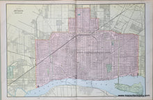
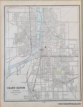
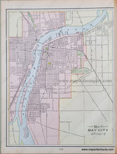
Antique printed color double-sided sheet of Detroit, Michigan (Recto). Verso: (Two Maps) A map of Grand Rapids and a map of Bay City. All of these maps show city streets clearly. Very good condition with some slight overall toning of the pages. By Cram, in Cram's Universal Atlas Geographical, Astronomical and Historical, 1900. Recto Map (Detroit, MI) measures approximately 20" x 13.5" to the neatline. Map of Grand Rapids measures approx. 13" x 10.25" to the neatline. Map of Bay City measures approx. 13" x 10" to the neatline. If you would like to purchase any of these maps separate from the others, please contact us.
Item Number: MWE278


